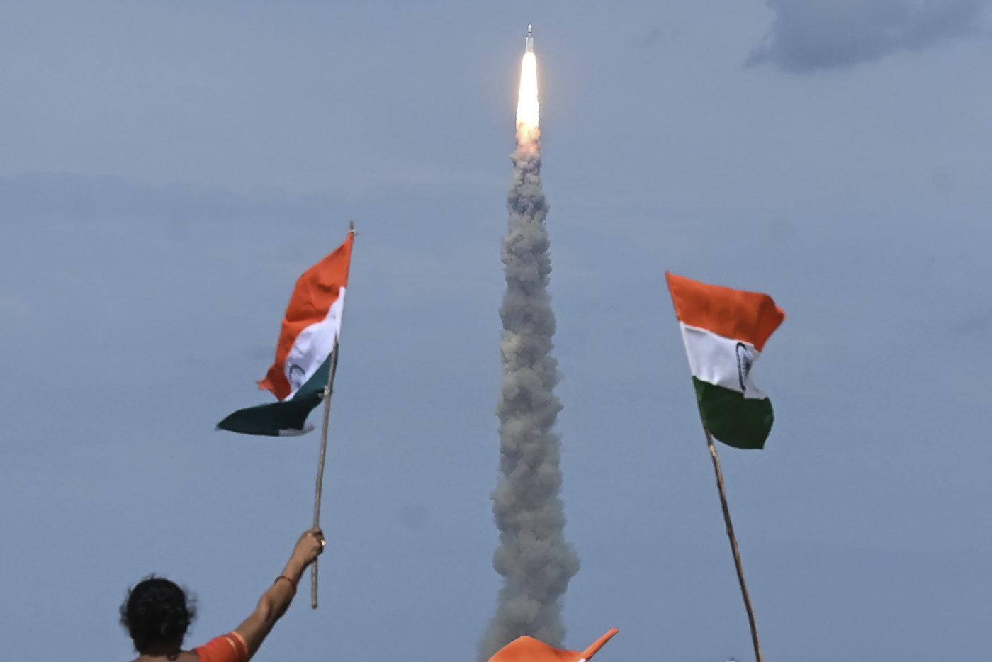
India is set to fast-track the acquisition of space-based surveillance capabilities by deploying 52 satellites in Low Earth Orbit (LEO) and Geostationary Orbit (GEO) to enhance the armed forces’ situational awareness.
The ambitious program, estimated at ₹27,000 crore (approximately $3.2 billion), aims to gradually reduce India’s reliance on satellite imagery from foreign sources.
“Efforts are underway to compress timelines and accelerate the launch of satellites into both LEO and GEO,” a source told TOI (Times of India).
Space-Based Surveillance (SBS) Programme
Plans for an advanced space-based surveillance capability were developed under India’s Space-Based Surveillance (SBS) program—a strategic initiative designed to strengthen the nation’s land and maritime domain awareness for both civilian and military applications.
The programme is managed by the National Security Council Secretariat and the Defence Space Agency (DSA) under the Ministry of Defence, with key inputs from the Indian Space Research Organisation (ISRO) and private sector partners.
Formed in 2019, the DSA replaced the Integrated Space Cell and now oversees India’s military space operations. It coordinates with ISRO, DRDO, and the armed forces to develop space warfare strategies and safeguard national space assets.
The DSA is expected to evolve into a full-fledged Space Command, with a roadmap to deploy over 100 military satellites within the next 7 to 8 years.
Under the SBS programme, India plans to deploy constellations of satellites in both Low Earth Orbit (LEO) and Geostationary Orbit (GEO) to provide real-time surveillance, reconnaissance, and secure communication capabilities.
Conceptually Advanced
India’s Space-Based Surveillance (SBS) program is conceptually on par with the most advanced global efforts. It will harness onboard artificial intelligence (AI) to autonomously process imaging data, identify potential threats, and direct closer monitoring as needed.
Speaking at Techfest—the annual science and technology festival hosted by the Indian Institute of Technology Bombay—on December 28, 2023, ISRO Chairman S. Somanath stated that India plans to launch 50 satellites over the next five years for geo-intelligence gathering. This constellation will include satellites in multiple orbits, capable of tracking troop movements and imaging thousands of square kilometres.
Onboard AI will dramatically reduce the downlink bandwidth by filtering and prioritizing relevant imagery. Instead of analysts combing through terabytes of raw data on the ground, AI will detect threats in real time and transmit only the actionable images.
“We will have communication between satellites, so that if one in GEO (at 36,000 km) detects activity, it can task another satellite in a lower orbit to take a closer look and gather more information,” Mr. Somanath explained.
“We’re aiming not just to image small areas, but thousands of kilometres, and to cover the entire border daily. If we succeed in launching these satellites over the next five years, we will have built tremendous capability,” he added.
The AI systems will be designed to process not only visual data, but also Synthetic Aperture Radar (SAR) and Thermal Imaging (TI) data, enabling all-weather, day-night surveillance.
Phased Program
The SBS program was initiated under Prime Minister Atal Bihari Vajpayee in 2001, as a phased program to incrementally enhance India’s satellite surveillance capability.
During Phase 1 of the program, ISRO launched four satellites – Cartosat-2A, Cartosat-2B, EROS B, and RISAT-2, which were primarily designed for earth observation and monitoring adversary military movements.
During Phase 2, which was initiated in 2013, ISRO deployed six satellites: Cartosat-2C, Cartosat-2D, Cartosat-3A, Cartosat-3B, Microsat-TD, and RISAT-2A. These satellites provided improved resolution and broader coverage, supporting both military reconnaissance and civilian applications, such as urban planning and disaster management.
During Phase 1 and 2, ISRO steadily improved its satellite surveillance capability.
Cartosat-2E, launched June 23, 2017, provides high-resolution imagery (0.6m x 0.6m) for military surveillance, urban planning, and infrastructure development.
RISAT-2 and RISAT-2A Synthetic Aperture Radar (SAR) satellites are capable of all-weather, day-and-night imaging, critical for military surveillance.
The GSATO-7 series was developed as dedicated high-bandwidth communication satellites to facilitate networking. GSAT-7 (Rukmini) for the Indian Navy provides real-time communication between land stations, ships, submarines, and aircraft.
GSAT-7A (Angry Bird, Air Force), launched in December 2018, facilitates network-centric warfare for the Indian Air Force, linking ground radar stations, airbases, and aircraft like AEW&C systems (e.g., DRDO Netra, Beriev A-50 Phalcon). It also supports the Army’s Aviation Corps.
GSAT-7B, 7C, and 7R, planned for future launches, will expand military communication capabilities.
EMISAT, a reconnaissance satellite under DRDO’s Project Kautilya, provides electronic intelligence (ELINT) to locate enemy radars and improve situational awareness.
Microsat-R (Launched January 24, 2019): A dedicated military satellite for the Indian Armed Forces, used in the 2019 ASAT test (Mission Shakti).
SBS Phase 3
Phase 3 of India’s Space-Based Surveillance (SBS) programme, approved in October 2024, is the most ambitious phase to date.
Of the planned 52 satellites, 21 will be developed by ISRO in collaboration with France, under a Letter of Intent (LoI) signed in January 2024 for defence space cooperation. The remaining 31 satellites will be built by three private-sector companies based in South India—their names have been withheld due to the sensitive nature of the program.
The first batch of satellites was originally scheduled for launch between 2027 and 2028, but efforts are underway to advance the timeline to end-2026.
Objectives
Enhance surveillance along India’s borders with Pakistan and China, particularly the Line of Actual Control (LAC), to monitor infrastructure development and military activities.
Improve maritime domain awareness in the Indo-Pacific, including detection of enemy submarines and Chinese spy vessels.
Support civilian applications like disaster management, weather forecasting, and environmental monitoring (e.g., deforestation, glacier melt).
Private Sector Involvement
SBS Phase 3 marks the first time private companies have been involved in the manufacturing of satellites under the programme—an important step that conforms with India’s 2023 Space Policy, which aims to foster public-private partnerships in the space sector.
Companies like Tata Advanced Systems Ltd (TASL) have already demonstrated their capability in satellite development. TSAT‑1A, developed by TASL, is a sub-metre resolution optical Earth observation satellite launched aboard SpaceX’s Falcon 9 during the Bandwagon‑1 mission from Kennedy Space Center on April 7, 2024.
Weighing approximately 50 kg, TSAT‑1A is based on Satellogic’s NewSat Mark V bus and has an expected lifespan of 3 to 4 years. It operates in low Earth orbit with an inclined orbital path, enabling shorter revisit times—a key advantage for real-time strategic surveillance.
The satellite is designed to support India’s armed forces, providing rapid and high-resolution imagery for operational and intelligence purposes.
- Vijainder K Thakur is a retired IAF Jaguar pilot, author, software architect, entrepreneur, and military analyst.
- VIEWS PERSONAL OF THE AUTHOR
- Follow the author @vkthakur